How countries around the Baltic Sea could change the way the world understands and develops cities.
For decades, architects and urban planners from around the world have travelled to Copenhagen to study its cycling infrastructure, to Stockholm to admire its public spaces, and to Helsinki to understand its approach to urban development. Scandinavian cities have become international references for good urbanism. Yet there is something curious about this fascination. We spend enormous amounts of time studying the visible results of urban development—buildings, streets, neighbourhoods and public spaces—while paying comparatively little attention to the systems of information that increasingly make better development decisions possible.
Perhaps the most important Nordic contribution to the future of cities will not be another exemplary neighbourhood or beautifully designed waterfront. It may be something much less photogenic: the extraordinary public digital infrastructure developed across Northern Europe.
Estonia is a particularly interesting starting point. Internationally, the country is best known for its digital government, but this transformation extends far beyond administrative convenience. Estonia has developed an extensive digital representation of its physical environment, with publicly accessible information about land parcels, buildings, infrastructure, environmental conditions and planning regulations. Through public registers and geographical information platforms, it is possible to assemble a remarkably detailed understanding of a place without initially visiting it. Information that once required extensive surveys, institutional requests and weeks of research can sometimes be accessed within minutes.
Estonia is not alone. Denmark has established an extensive system of interconnected public registers and geospatial information. Finland provides detailed geographical and building-related data, while Sweden and Norway maintain sophisticated spatial information infrastructures. Together, these countries represent one of the world’s most developed regional environments for using public data to understand places. Interestingly, much of this information was not originally collected for urban development. It was created for taxation, property registration, environmental monitoring, infrastructure management or public administration. Yet when combined, these separate sources become valuable instruments for understanding how cities function and where they might change.
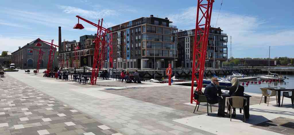
Consider a former industrial site somewhere in Tallinn. Conventionally, a landowner or investor commissions an architect to explore its possibilities. A site analysis establishes the physical characteristics, regulations and urban context, while a feasibility study investigates potential uses and financial viability. Eventually, a proposal illustrates a preferred future. There is nothing inherently wrong with this approach, but it starts from a particular site and usually from an already formulated ambition. The question is how to realise that ambition, rather than whether it represents the most promising opportunity in the first place.
Extensive public information creates the possibility of reversing that process. Instead of beginning with a site and asking what could be built there, we could examine an entire city or region to understand where conditions for development are emerging. We could investigate how accessibility relates to population change, where buildings are underused, which locations combine development capacity with economic demand, or where environmental and infrastructural constraints limit growth. By connecting these layers, relationships become visible that individual datasets cannot reveal. An unremarkable location might have considerable potential, while an attractive site could be constrained by infrastructure costs, market conditions or regulation.
This changes the role of urban analysis. It becomes less about documenting existing situations and more about identifying possibilities for transformation. Land ownership, infrastructure capacity, financing, accessibility, environmental exposure, demographics, regulation and market demand all influence whether development can happen. A well-designed project can fail because these conditions have been misunderstood, while a modest intervention can produce substantial benefits if it changes a factor holding development back.
I have come to think of this approach as urban conditioning. Rather than concentrating primarily on designing a desirable physical outcome, it begins by understanding the economic, environmental, spatial, institutional and social conditions shaping urban development. The next step is identifying which conditions could or should be influenced to enable better outcomes. Architecture and urban design remain essential, but become part of a broader process informed by what is possible, viable and desirable.
There is another resource that could make this approach considerably more powerful: the enormous wealth of experience humanity has accumulated through centuries of urban development. We have built neighbourhoods, expanded towns, developed greenfield sites, regenerated industrial areas and transformed obsolete infrastructure. Thousands of projects have succeeded, others have struggled for decades, and many have failed or never progressed beyond the drawing board. Together, they represent an extraordinary body of knowledge about what makes development succeed and what ultimately prevents it from happening.
Yet we rarely use this experience systematically. New projects tend to begin with their own feasibility studies, market assessments and risk evaluations, while lessons from comparable developments remain scattered across reports, institutional archives and individual experience. By examining the conditions under which previous developments succeeded or failed, we could identify recurring patterns and potential showstoppers much earlier. Certain combinations of ownership, infrastructure requirements, market demand or regulation may repeatedly create obstacles, while others support successful transformation. Historical experience could become more than a collection of precedents. It could provide an evidence base for evaluating new opportunities and avoiding mistakes already made elsewhere.
The implications extend far beyond urban design. Investors deciding where to allocate capital, municipalities setting infrastructure priorities and governments encouraging development all face the same challenge: understanding the circumstances under which a desirable future could materialise. A transport connection may make previously unattractive locations viable. Regulatory changes may unlock adaptive reuse. Better energy infrastructure may transform the economics of a district. Understanding these relationships allows us to identify interventions that change development possibilities rather than merely respond to existing ones.
Of course, most cities do not have Estonia’s digital infrastructure. Information elsewhere may be incomplete, outdated, fragmented or unavailable. Yet the absence of perfect information does not make meaningful analysis impossible. Satellite imagery can reveal urban expansion, population statistics can support demographic estimates, street networks help establish accessibility, and property advertisements offer indications of market conditions. Environmental information, comparable developments and professional expertise can fill further gaps. None of these sources is necessarily sufficient individually. Their value emerges when they are combined and evaluated within a coherent framework.
The essential requirement is distinguishing what is known, what can reasonably be estimated and what remains uncertain. Too often, development studies present precise-looking conclusions based on assumptions that are neither transparent nor adequately tested. A more rigorous approach would make uncertainties explicit, assess how strongly they influence results and identify which missing information could materially change a decision. When better data becomes available, assumptions can be replaced and conclusions updated without starting the process again.
This matters because urban development involves substantial capital, long time horizons and consequences that are difficult to reverse. Unrealistic market expectations can leave buildings empty, underestimated infrastructure costs can undermine financial viability, and overlooked environmental risks can create expensive problems decades later. Better information cannot eliminate uncertainty or guarantee success. But systematic analysis, informed by both current data and previous experience, can reveal problems earlier, test alternatives and reduce avoidable failures. It can also improve outcomes by identifying where investment, regulation or infrastructure interventions are likely to have the greatest effect.
Artificial intelligence adds another dimension. Information about cities exists in different formats, languages and institutional systems, and combining it has traditionally required considerable specialist effort. AI-assisted tools can increasingly organise and compare information, identify spatial patterns, detect inconsistencies and explore scenarios. They also create opportunities to examine large collections of previous projects and identify recurring characteristics of successful and unsuccessful developments. This does not replace professional judgement or local knowledge, but it could make comprehensive assessments accessible to projects and places that previously could not justify the resources required.
Perhaps even more significant is that urban development assessment could become a continuous activity rather than a one-off exercise. Cities constantly change, yet planning studies and development strategies are often static documents that quickly become outdated. A data-informed approach allows opportunities and risks to be reassessed as infrastructure, demographics, regulations and economic circumstances evolve. Locations once considered unattractive may become promising, while previously viable projects may require reconsideration. Instead of periodically producing another grand vision, we could continuously improve our understanding of the conditions shaping urban development.
This is where the Nordic and Baltic experience becomes globally relevant. These countries demonstrate how information collected for different purposes can become a shared resource for understanding and influencing urban transformation. In data-rich environments, this allows detailed assessments. Where information is incomplete, the same principles can improve decisions by combining available evidence with accumulated experience and expert knowledge while remaining transparent about uncertainty. The ambition is universal: development decisions should become less dependent on fragmented information, untested assumptions and intuition alone.
There are limits, of course. More information does not automatically produce better cities. An economically attractive opportunity is not necessarily socially or environmentally desirable. Public priorities, political choices and community interests remain fundamental, as do concerns about privacy and access to information. Urban conditioning should not replace planning or democratic decision-making with algorithms. Its purpose is to provide a stronger foundation for those decisions, making opportunities, risks and trade-offs more visible.
For more than a century, architects and planners have been judged largely by their ability to imagine what places could become. We have developed sophisticated methods for visualising future cities, but our ability to systematically understand the conditions that determine whether those futures are possible has not always kept pace. We also possess centuries of development experience that we have barely begun to use as a systematic source of knowledge.
The real revolution would be to use these capabilities not simply to understand cities, but to change how we change them. Instead of waiting for individual development proposals, testing their feasibility and then struggling to overcome the obstacles, we could systematically discover opportunities across entire cities, recognise potential showstoppers before investments are made and actively create the conditions for desirable development to happen. Infrastructure investment, regulatory change, land policy and private capital could become much more deliberately coordinated around opportunities identified through evidence rather than around proposals that happen to come forward.
That is the promise of urban conditioning: not another way of drawing the future city, but an entirely different process for making that future happen. The next urban revolution may still produce extraordinary architecture and urban spaces. It just won’t begin with designing them.
AI tools have been used for spelling, grammar and language enhancement.
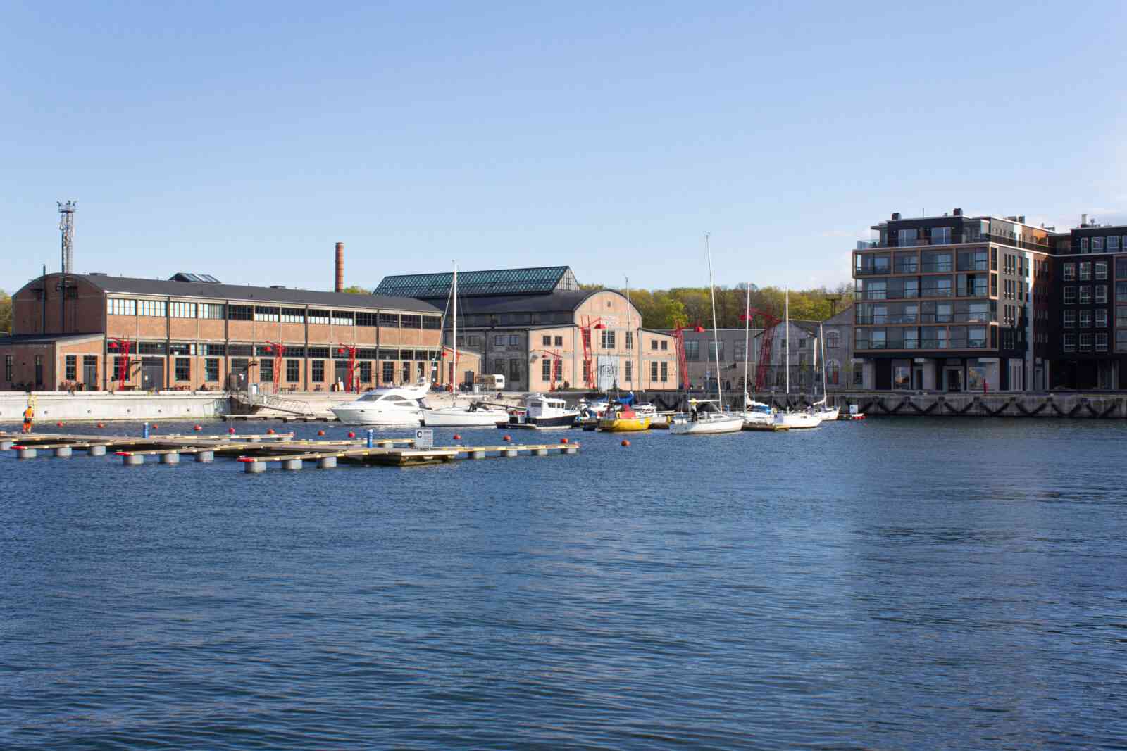
Cover image: Noblessner Regeneration Area, Tallinn Teet Koitjärv, CC BY-SA 4.0, via Wikimedia Commons
Other image: Noblessner Regeneration Area, Tallinn PLUSS Architects; photographer Tõnu Tunnel, CC BY-SA 4.0, via Wikimedia Commons