Why global climate targets are not enough — and why adaptation must start with the places and people actually affected.
We have become accustomed to discussing climate change in fractions of degrees. The Paris Agreement established 1.5°C and 2°C as the defining thresholds of our climate ambitions. International negotiations, national strategies and media coverage revolve around these numbers.
The latest UN assessment makes this distinction more urgent. UNEP’s Emissions Gap Report 2026, The Point of Return, estimates warming of about 2.8°C this century under current policies, or 2.6°C even if countries fully implement their existing climate pledges. The outlook has deteriorated since last year, partly because of the United States’ withdrawal from the Paris Agreement and revised estimates of historical emissions.
To minimise the overshoot of 1.5°C, UNEP says global greenhouse gas emissions would need to fall by 18% by 2030 and 45% by 2035, compared with 2025. This is an argument for accelerating mitigation, not abandoning it. But it is also a warning for spatial planners: cities cannot design their future around the assumption that global targets will be met. They must prepare for a range of increasingly severe, and very unevenly distributed, local impacts.
But nobody experiences the global average temperature.
People experience heat while waiting for a bus, walking across a parking lot or trying to sleep in an apartment that has absorbed the sun all day. They experience flooding when their street becomes impassable, their basement fills with water or their home is destroyed. They experience drought when water becomes scarce, and storms when infrastructure fails.
Climate change is a global phenomenon, but its consequences are experienced locally. And they are anything but evenly distributed.
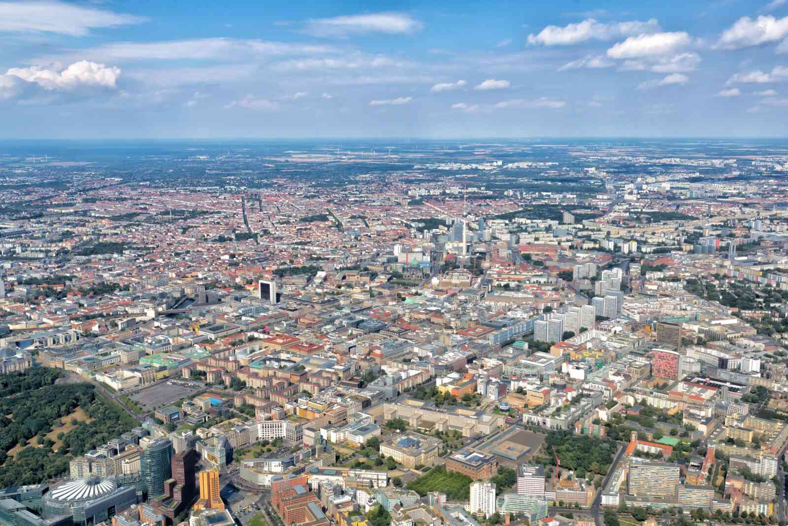
Two neighbourhoods in the same city can face radically different risks. One may suffer from extreme heat, another from flooding. Some communities have the resources to protect themselves, while others are exposed to multiple hazards with little capacity to adapt. The geography of climate vulnerability is shaped as much by urban development, infrastructure, income and governance as by climate itself.
This is where a fundamental disconnect in our climate conversation becomes apparent. We discuss global averages, but the actual consequences unfold at the scale of regions, cities, neighbourhoods and individual streets.
A recent study published in Scientific Reports, Reevaluating how tree canopy cools the air and surfaces in cities at very high resolution, illustrates this disconnect.
Examining more than 675,000 temperature measurements across eleven American cities, researchers found that trees can reduce air temperatures by approximately 1.7°C under the studied afternoon and evening conditions, while their effect on surface temperatures was considerably greater. They also found that models considering only tree canopy substantially overestimated cooling benefits. Impervious surfaces, proximity to water and local topography were equally important, sometimes more so.
The conclusion is not that trees are ineffective. It is that urban cooling is far more complex than many of our climate strategies suggest.
One climate, many climates
Part of the problem is that we use the word climate for phenomena operating at fundamentally different spatial scales. For spatial planning, four levels matter:
| Scale | Main characteristics | Planning implications |
| Macroclimate — regional to continental | Latitude, atmospheric circulation, climatic zones | National spatial strategies, regional settlement patterns |
| Mesoclimate — metropolitan to city | Topography, coastlines, land cover, urban heat islands | Metropolitan structure, urban expansion, ventilation and green-blue networks |
| Local climate — district to neighbourhood | Urban density, morphology, vegetation, paved surfaces | Neighbourhood planning, street networks, open-space systems |
| Microclimate — street to individual space | Shade, materials, wind, humidity, solar exposure | Street design, courtyards, building orientation, shading |
These scales interact, and their boundaries are not rigid. But the distinction is essential.
Global warming changes the climatic conditions within which cities operate. Urban form modifies those conditions at the metropolitan and neighbourhood levels. Individual streets and public spaces create their own microclimates.
The same principle applies to other climate-related hazards. Regional precipitation patterns influence flood risks, but topography, soil permeability, drainage capacity and development decisions determine which neighbourhoods actually flood. Drought may affect an entire region, while access to water varies enormously between communities.
Global climate models tell us what is changing. Spatial planning determines, to a significant extent, how those changes affect people.
The tree planting trap
Trees have become something of a universal symbol of urban climate action. Governments announce programmes to plant millions of them, cities establish canopy targets and international organisations promote urban greening as a readily transferable solution.
But trees are not automatically the best response to heat.
The study found that clustered tree canopy generally cooled the air more effectively than isolated trees in the afternoon and evening. It also demonstrated that removing impervious surfaces could sometimes deliver comparable or greater cooling benefits.
More importantly, trees are living infrastructure. They need suitable soil, sufficient water, space to develop and continuous care. In arid climates, irrigation can become a substantial burden. Poorly selected species may struggle to survive, while trees planted in compacted urban soils may never develop the canopy assumed in the original cooling calculations.
There is also a climate paradox. Growing and maintaining urban trees can generate greenhouse gas emissions through nursery production, transportation, irrigation, pumping, fertilisers and maintenance. Where desalinated water is required, the associated energy demand can be particularly significant. Under unfavourable conditions, lifecycle emissions may outweigh the carbon stored by the trees over relevant assessment periods.
This lifecycle question extends beyond the cited research, which examines cooling rather than carbon balances. But it illustrates why adaptation and mitigation should not be confused.
A tree can improve local thermal comfort without necessarily delivering a net climate mitigation benefit. Equally, a shading structure can protect people from heat without sequestering any carbon.
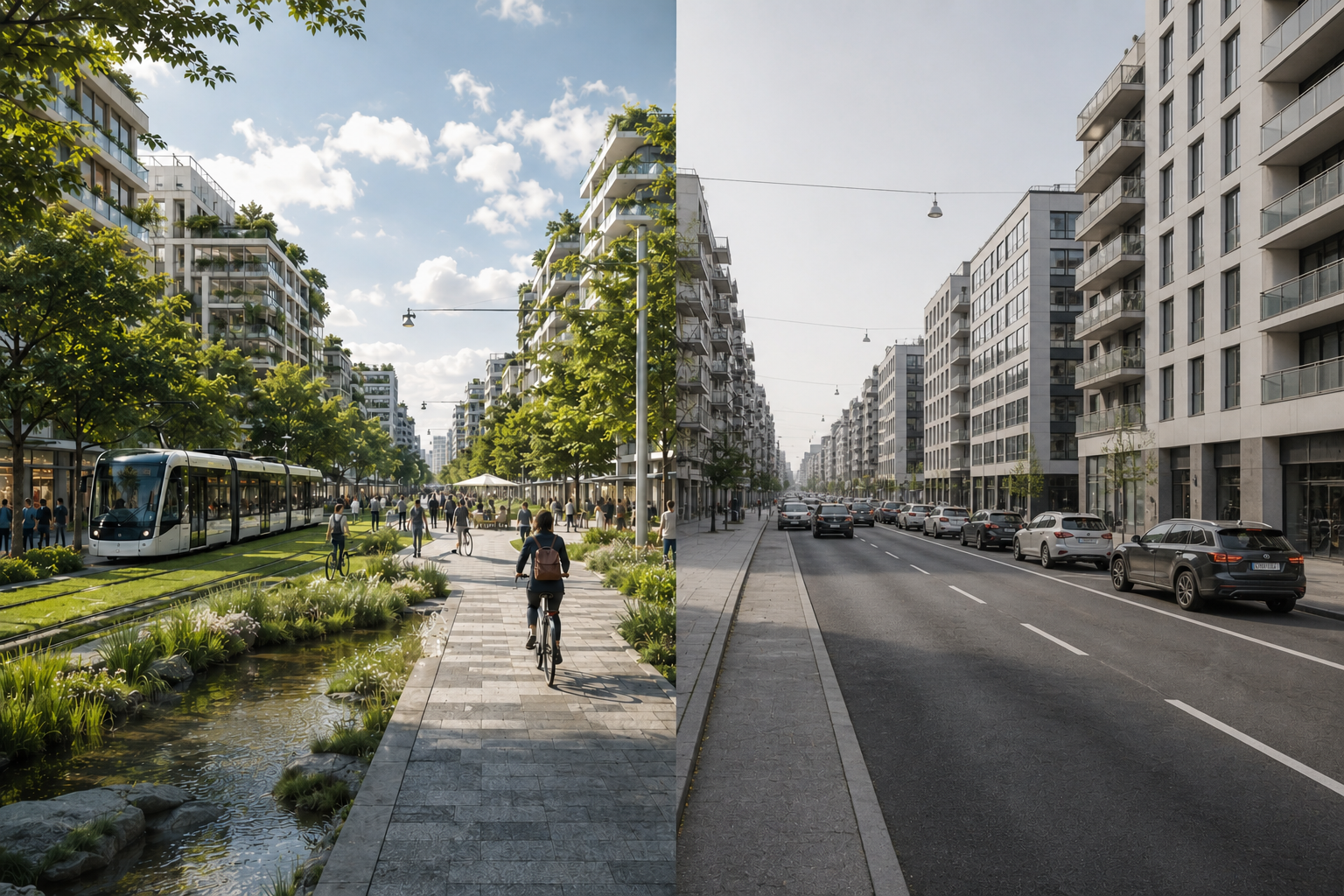
Sometimes trees will be the best solution. Sometimes reducing asphalt, creating shade through buildings, improving ventilation or changing surface materials will be more effective. The answer depends on the place.
Multilateral institutions: standardise knowledge, not solutions
International climate organisations face a fundamental dilemma. Their strength lies in developing common frameworks, comparable indicators and transferable knowledge. But climate adaptation requires context-specific interventions.
Organisations such as UN-Habitat, UNDP, UNEP and international development banks should therefore reconsider what they standardise.
Instead of promoting universal solutions, they should establish common methods for measuring exposure, evaluating interventions and assessing lifecycle impacts. A project in Riyadh should be comparable with one in Rotterdam in terms of performance and methodology, without being expected to use the same physical solutions.
This is equally relevant for flooding, drought and other climate hazards. Internationally comparable risk assessments are valuable, but the interventions must respond to local geography, urban form, infrastructure and social vulnerability.
International cooperation should prioritise local measurement capacity, shared evidence, experimentation and technical support. The objective should not be to replicate solutions, but to replicate the ability to find the right solutions.
National governments: make adaptation a planning responsibility
National governments must bridge global climate ambitions and local implementation.
This means integrating climate adaptation into spatial planning legislation, building regulations, infrastructure investment and municipal financing rather than treating it as an optional environmental programme.
National frameworks should require cities to assess climate risks and incorporate them into development plans. But they should avoid prescribing uniform physical solutions.
A fixed tree canopy target, for example, may be sensible in one region and counterproductive in another. Similarly, flood protection cannot be reduced to universal drainage standards without considering local hydrology and development patterns.
Performance-based standards offer a more promising approach: establish what must be achieved, while allowing municipalities to determine how.
National governments also have a responsibility to address the unequal distribution of climate risks. Municipalities with the greatest vulnerabilities frequently have the fewest resources to respond. National financing and technical assistance should help close this gap rather than reinforce existing inequalities.
Local governments: plan for the climate people actually experience
The most consequential adaptation decisions are often made locally.
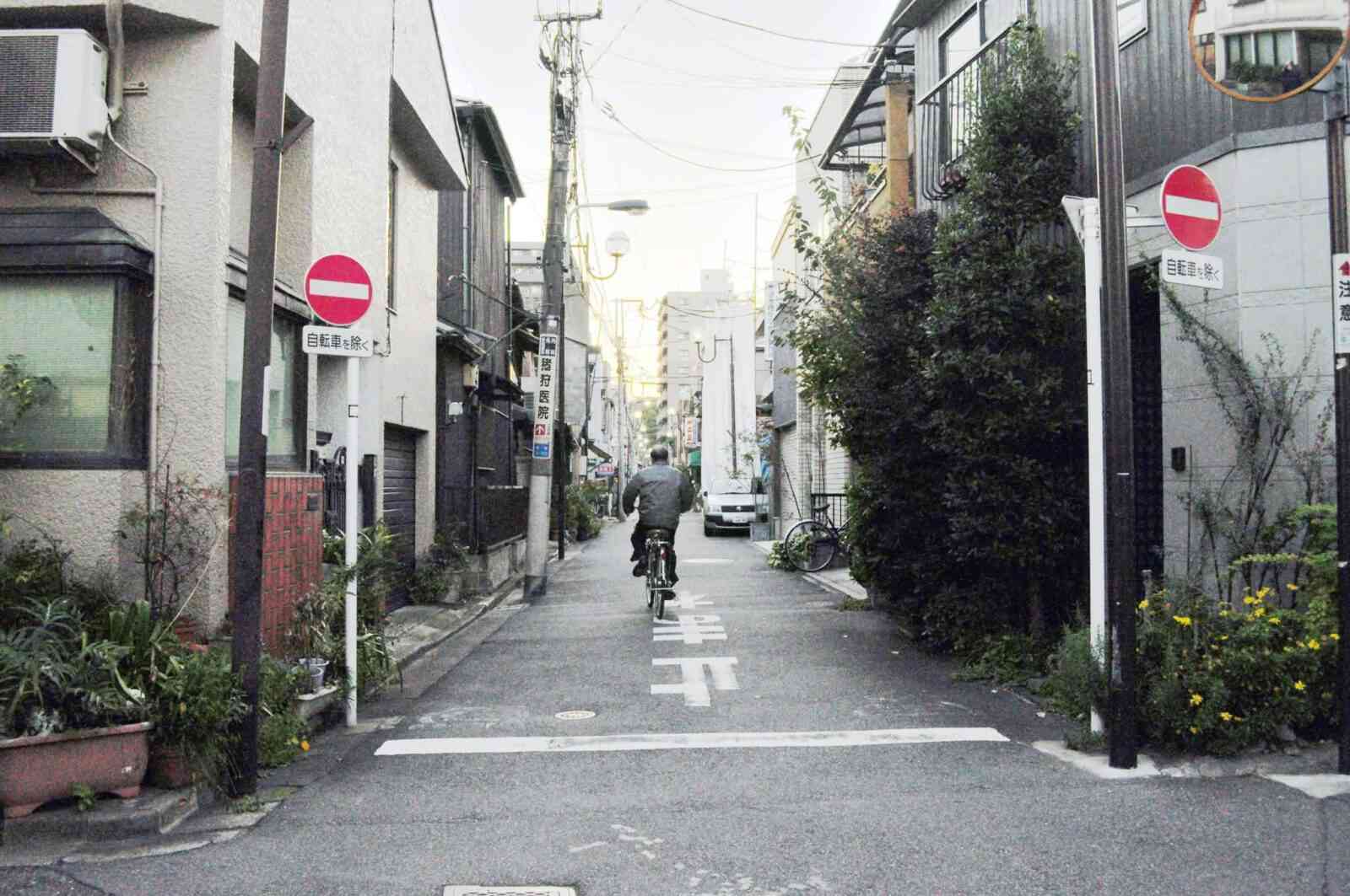
Municipalities influence street geometry, building density, public spaces, vegetation, paving, drainage and infrastructure. These decisions determine how climate hazards translate into everyday risks, often for decades.
Yet adaptation frequently remains confined to environmental departments, while planning authorities continue approving developments without adequately considering their long-term climate consequences. This needs to change.
Heat, flooding and other climate risks should become standard considerations in spatial planning, comparable to mobility or infrastructure capacity. Municipalities need detailed assessments that identify not simply the hottest or most flood-prone places, but where exposure creates the greatest risks for people.
A bus stop used by thousands may deserve more immediate heat protection than an equally hot but inaccessible open space. A low-income residential neighbourhood exposed to recurrent flooding may require more urgent intervention than a less vulnerable commercial area facing similar water levels.
Local governments must move beyond measuring hazards to understanding vulnerability: who is exposed, who can protect themselves and who bears the greatest consequences.
They should also test interventions, measure their performance and adjust their approaches. Without coordination across planning, transport, utilities, public health and maintenance departments, even excellent climate research remains little more than an interesting map.
From global ambition to local intelligence
There is a fundamental difference between climate mitigation and adaptation.
Reducing greenhouse gas emissions is a global collective endeavour. The climate benefit of avoiding a tonne of CO₂ is largely independent of where the reduction takes place.
Adaptation is different. Its effectiveness depends on geography, urban morphology, infrastructure, available resources, human behaviour and institutional capacity. And because exposure and vulnerability are unevenly distributed, adaptation is inevitably also a question of social justice.
Our governance systems need to reflect this distinction.
Multilateral institutions should create comparable evidence and strengthen local capabilities. National governments should establish the regulatory and financial conditions for adaptation. Local governments should translate those frameworks into spatial decisions based on actual conditions and human needs.
Across all three levels, we need to move beyond simplistic output targets — trees planted, hectares greened, kilometres of drainage constructed — towards measuring what actually matters: how many people are better protected, from which risks, at what cost and with what long-term consequences.
None of this reduces the urgency of limiting global warming. Local adaptation cannot indefinitely compensate for a warming planet. But neither can global climate targets tell us how to make an individual street liveable or prevent a neighbourhood from flooding.
We have spent decades developing sophisticated models of the global climate. It is time to become equally sophisticated about the local consequences of climate change and the role of spatial planning in addressing them.
The world needs global climate targets. But it does not need global adaptation recipes.
Ultimately, climate change does not affect everyone equally. Its impacts are filtered through the places we have built, the infrastructure we provide and the inequalities we have allowed to develop.
The future of climate adaptation will depend less on finding universal solutions than on building the capacity to understand thousands of different local conditions — and the people living within them.
Because climate change may be global, but whether a person suffers from heat, loses their home to flooding or can continue living comfortably in their city is decided locally.
Sources:
Alonzo, M., Baker, M. E. & Amini, A. (2026). Reevaluating how tree canopy cools the air and surfaces in cities at very high resolution. Scientific Reports, article in press. https://doi.org/10.1038/s41598-026-75519-8.
UNEP (21 October 2026), Emissions Gap Report 2026: The Point of Return. https://www.unep.org/en/publications/report/emissions-gap-report-2026
AI tools have been used for spelling, grammar and enhanced expression.
Cover image: https://commons.wikimedia.org/wiki/User:Jmabel under Creative Commons Attribution-Share Alike 3.0 Unported license.